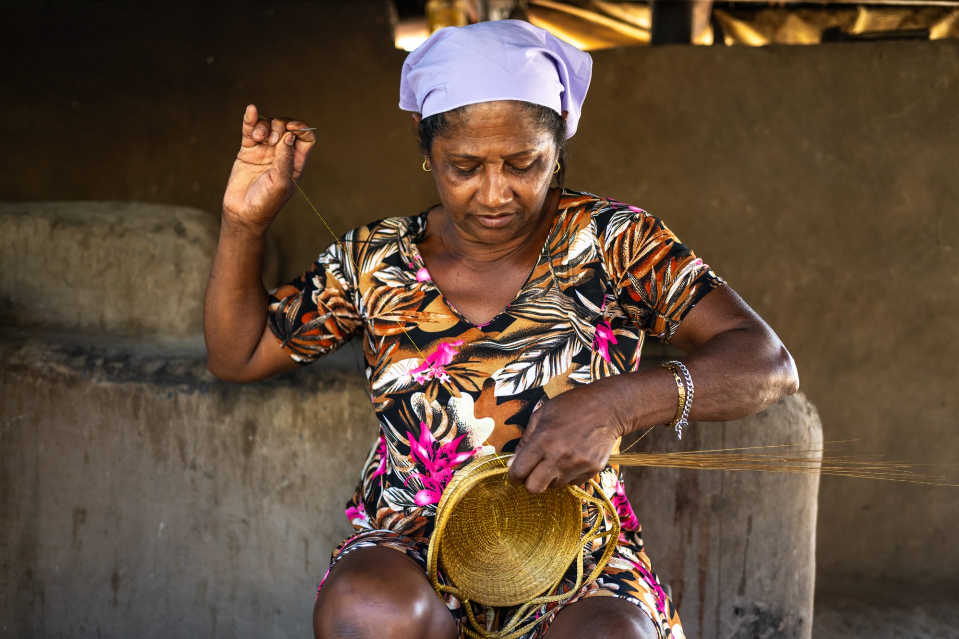
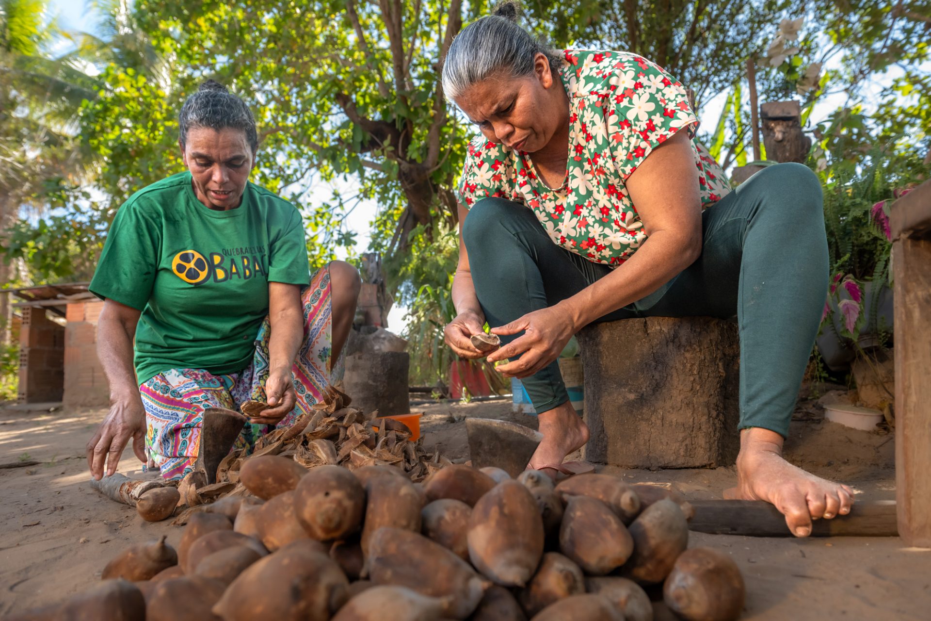
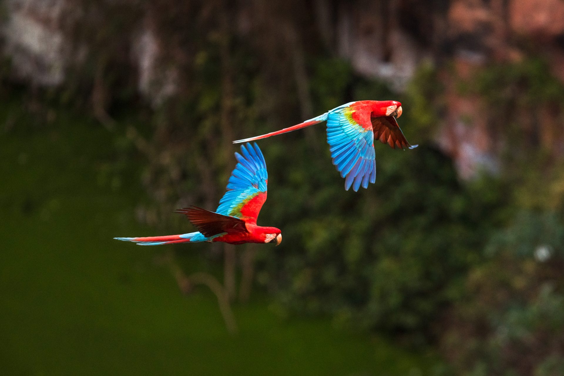
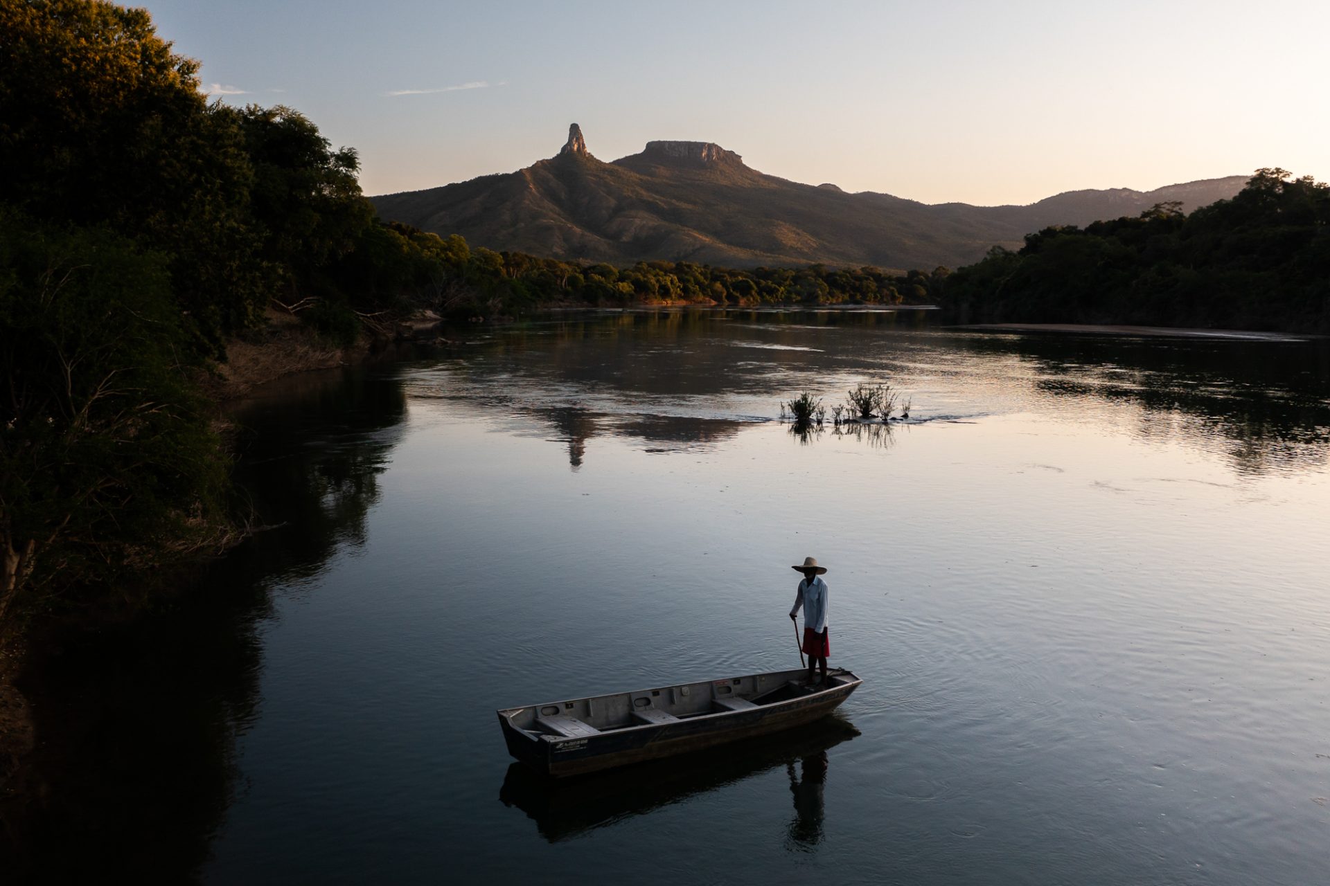
Cerrado — Brazil’s Sacred Water Link is a multimedia investigative project by Ambiental Media, produced in partnership with Instituto Cerrados, that uses visual storytelling to reveal how the destruction of the Cerrado biome is silently dismantling the country’s water security. The Cerrado, the most biodiverse savanna on the planet, feeds eight of Brazil’s 12 major hydrographic regions and the country’s largest aquifers. Yet more than half of its native vegetation has already been cleared—mostly over the last 50 years—for commodity agriculture. The platform is the result of two years of cross-disciplinary data analysis, and brings a visual narrative crafted for digital audiences.
Our entry is a custom-designed interactive platform that combines three layers of visual storytelling:
A guided scrollytelling narrative that presents the investigation main findings and makes the point of how the Cerrado is losing water at an unprecedented rate due to mainly soy crops;
An interactive dashboard that lets users explore decades of hydrological, climate, and land-use data — comparing river flow, rainfall, evapotranspiration, native vegetation loss, and soy expansion across six major river basins (Araguaia, Paraná, Parnaíba, São Francisco, Taquari, and Tocantins) from 1985 to 2022;
An original illustrated long-form piece, The Cerrado and the Incredible Journey of the Waters, which uses bespoke artwork to make invisible underground systems — deep roots, recharge zones, vast aquifers — visually legible to non-specialist audiences. This piece was selected as a finalist at the Inter-American Press Association (IAPA/SIP) Awards in the Cartoon and Illustration category.
The visual system was designed to carry the investigation’s most striking findings: a 27% drop in the minimum safe flow (Q90) across six major Cerrado basins since the 1970s, a 21% decline in rainfall volume, and a 20-fold expansion of soy cultivation since 1985. Each finding is rendered through original maps, animated time-series, and basin-by-basin comparative visualizations, allowing readers to move fluidly between national patterns and local realities.
Technically, spatial analyses were processed in Google Earth Engine using MapBiomas Collection 8 land-cover data and hydrological series from Brazil’s National Water Agency (ANA). Visualizations were built with custom charting and interactive mapping frameworks, integrated into a responsive front-end designed platform.
Editorially, the project was built by a multidisciplinary team of journalists, climate scientists, data analysts, illustrators, designers, and developers working together from concept to publication. The result is a digital experience where data visualization, illustration, photography, and reporting are not stacked side by side but woven into a single visual argument: the degradation of the Cerrado is the degradation of Brazil’s water.