

Organizations
Bloomberg CityLab
Bloomberg News
Award
Excellence in Social Media Engagement, Large Newsroom
Program
2022
Entry Links
Link 1
Link 2
Link 3
Link 4
Link 5
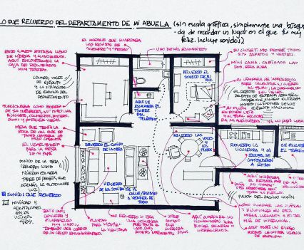
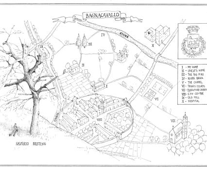
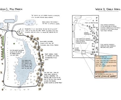
This project began in the first weeks of the Covid-19 pandemic, as billions of people around the world found themselves under lockdown orders that suddenly restricted their lives to the scale of their homes and immediate neighborhoods. In April 2020, CityLab journalists suggested that readers create homemade maps that visualized the shock and strangeness of the situation. Jessica Martin, CityLab’s audience development editor, and Laura Bliss, a CityLab reporter who oversees the cartography-themed newsletter MapLab, developed a callout asking people to create maps that show how the virus had transformed their worlds. Hundreds of submissions poured in from around the world, from simple drawings to elaborate examples contributed by map professionals. Each reflected a different facet of the complex and constantly shifting human landscape of the crisis – the anxiety and boredom, the moments of whimsy and absurdity, the loneliness and loss and abject fear.
Initially, the callout was intended to generate newsletter content, but as it progressed, the project assumed new and more ambitious shapes. By June 2020, an online feature showcased a selection of images, arranged into six themed sections, with statements from the participating mapmakers. Further audience callouts tapped more submissions, including those from frontline emergency workers whose experiences with the waves of illness and the accompanying social disruption were starkly different than those weathering the pandemic from home. As Covid lingered into 2021, reader-made maps continued to chronicle the pandemic’s effects, and the project took a permanent form – as “The Quarantine Atlas: Mapping Global Life Under COVID-19,” a book published in April 2022 that also included eight essays from CityLab writers and other contributors.
The Online Journalism Awards™ (OJAs), launched in May 2000, are the only comprehensive set of journalism prizes honoring excellence in digital journalism around the world.
