
An excellent series with a clear, cohesive format that uses satellite imagery, maps and ground-level visuals to make complex stories understandable and compelling. The judges were especially impressed by how the reporting goes beyond striking imagery to provide context, history and human stories — with the Gaza visuals standing out as particularly powerful.
“View From Above” is a digitally native video journalism series from Business Insider that uses satellite imagery, motion graphics, maps, animation, and investigative reporting to explain some of the world’s most complex stories in ways that are accessible and compelling for online audiences. Designed specifically for digital, mobile, and social platforms, the series transforms large-scale systems — climate change, urban development, environmental transformation, economic collapse, and geopolitical conflict — into visual, human-centered journalism.
The series combines original reporting with advanced visual storytelling techniques to help audiences understand stories that are otherwise difficult to witness, verify, or fully comprehend. Rather than treating graphics and animation as supplementary elements, “View From Above” uses them as core reporting tools. Satellite imagery analysis, annotated overlays, scale comparisons, verified footage, and animated sequences allow viewers to track change over time, understand geography intuitively, and connect policy decisions to real-world consequences.
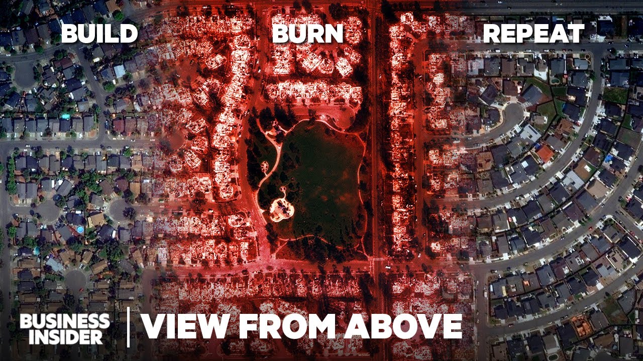
The submitted entries include reporting on the 2025 Los Angeles wildfires, America’s global military footprint, and food access in Gaza’s collapsing wartime economy. “Why Rebuild LA When It Will Just Burn Again?” examined how climate conditions, housing policy, insurance retreat, and land-use decisions collide to intensify wildfire risk and displacement in Los Angeles. Through before-and-after satellite imagery, historical burn maps, Street View comparisons, and expert testimony, the piece translated complex climate and housing dynamics into clear visual storytelling for digital audiences.
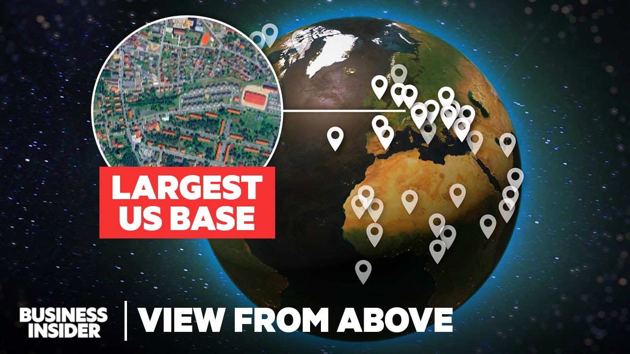
“Satellites reveal America’s global military footprint” used satellite analysis and motion graphics to understand the US’s overseas military empire. Because access and independent verification were limited, the visuals themselves became the reporting engine. The video used animated overlays, map treatments, and scale-comparison graphics to help audiences see the US’s largest overseas base in Southern Germany and understand why new bases are being built and existing ones are left to rot.
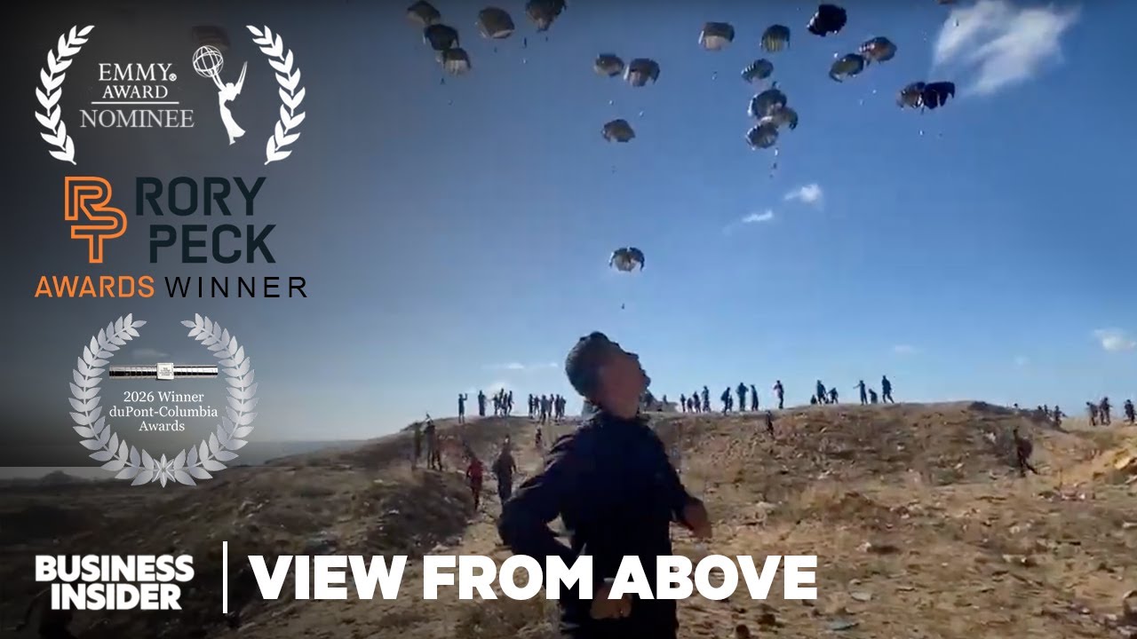
“We Mapped Out Gaza’s Deadly Food Economy” turned a complex economic story into a visual investigation of survival during war. Using verified footage, mapping, local reporting, and video captured by freelance videographers on the ground, the piece examined how destroyed banks, cash shortages, informal currency dealers, and hyperinflation reshaped everyday life in Gaza. The reporting traced, step by step, how people access money, navigate collapsing markets, and ultimately obtain food, translating abstract economic systems into a deeply human and visually understandable story.
Across the series, each video maintains Business Insider’s explanatory style and editorial standards while adapting storytelling techniques to fit the demands of digital consumption. The work is structured to engage audiences across YouTube, social platforms, mobile devices, and the BI website through pacing, visual clarity, and platform-native storytelling design.
“View From Above” reflects Business Insider’s continued investment in visual journalism and demonstrates how digital video storytelling can deepen audience understanding of urgent global issues through innovative reporting and presentation.