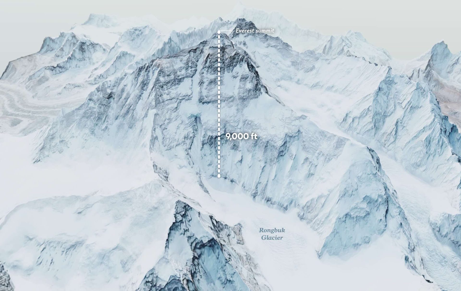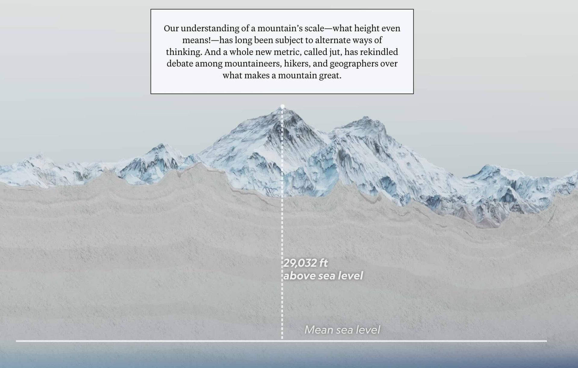
“What is the tallest mountain on Earth?” showcases six different technical measurements on 3D modeled versions of mountains, all rendered in the browser. To create the 3D mountains, we paired low quality DEM with high quality imagery to create accurate and visually stunning 3D models of the mountains themselves. Additionally, each mountain includes a custom animation to visually demonstrate the “how” of each measurement.
Every animation, scroll, and 3D-modeled element is meant to bring the reader into the story while making a highly complicated topic easy to understand. The strategy was to take the classic style of National Geographic cartography and bring the reader into a world that felt crisp, stunning and technologically new.